#ChimborazoDay
Go for a hike in honor of this epic mountain, it's Chimborazo day!
What Does #ChimborazoDay Mean?
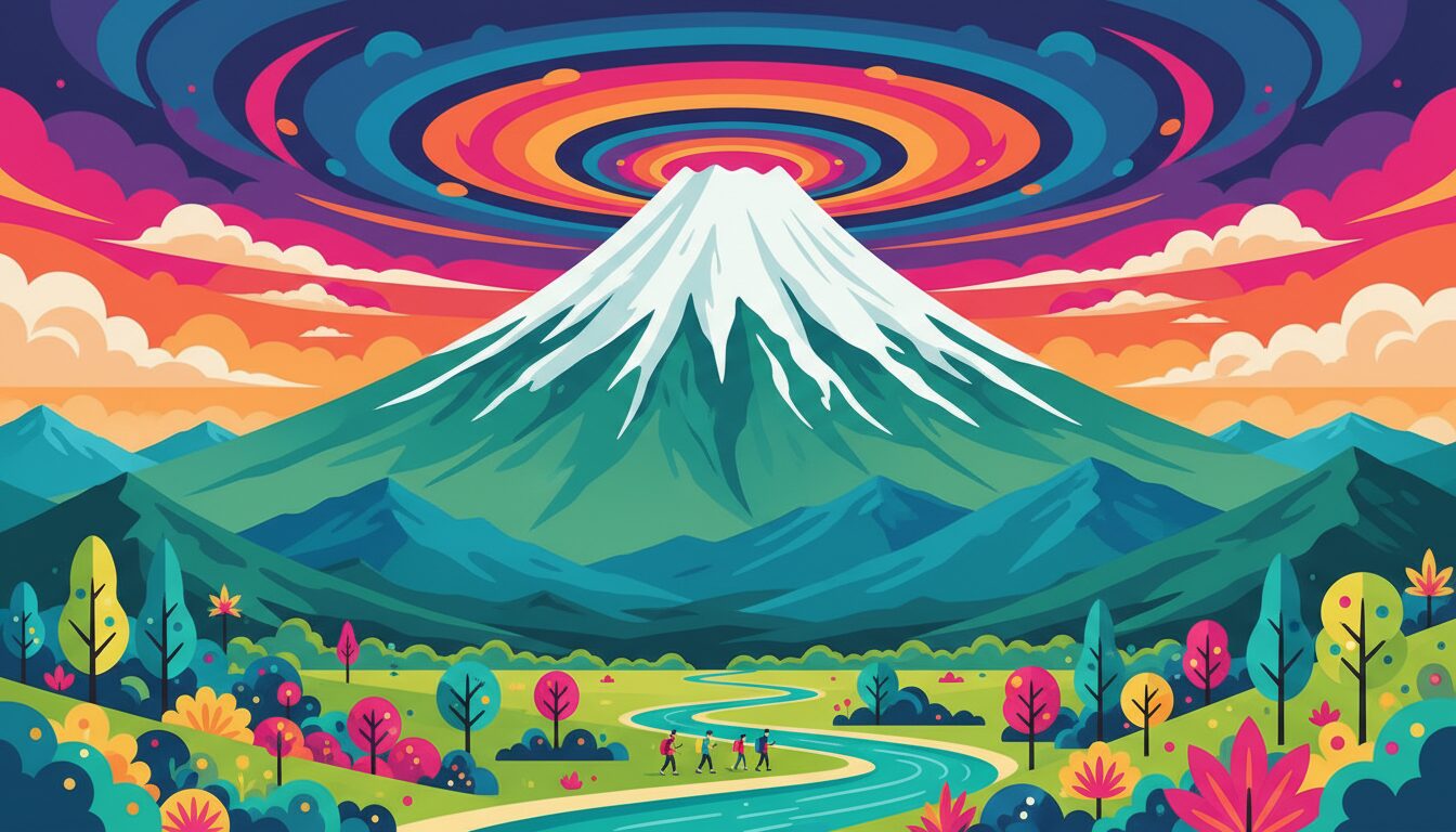
Chimborazo Day on June 3rd celebrates the massive stratovolcano in Ecuador. What makes Chimborazo special? Because of Earth's equatorial bulge, its summit is actually the farthest point from the center of the Earth - even farther than Everest. It is a day for mountain lovers and geography nerds.
How to Use #ChimborazoDay
Share a stunning mountain photo, post a fun geography fact, or talk about your dream hiking adventures. This tag is niche but works well for travel accounts, hiking enthusiasts, and science pages.
The Mountain That Beats Everest at Its Own Game
If someone asked you to name the tallest mountain on Earth, you’d say Everest. And you’d be right — by one measure. Mount Everest reaches 29,032 feet above sea level, which is the standard way we compare peaks. But there’s a second way to measure, and it’s where Chimborazo quietly wins.
Because of the way Earth bulges at the equator, sea level in Ecuador is actually farther from the center of the planet than sea level in Nepal. Chimborazo’s summit sits at 20,564 feet above sea level — far below Everest on that chart. But measured from the center of the Earth, Chimborazo’s peak is approximately 3,967 miles out, compared to Everest’s 3,965 miles. Chimborazo wins by about 1.4 miles, making it the farthest point on Earth’s surface from the planet’s core.
That distinction gets more interesting when you think about it in space terms. If you stood on top of Chimborazo, you’d be closer to the Moon and farther from Earth’s center than any other person standing on any other mountain. It’s a quiet kind of record — one that took centuries of scientific understanding to fully appreciate.
A Volcano in the Avenue of Volcanoes
Chimborazo is a stratovolcano located in central Ecuador, about 93 miles south of the capital Quito. It sits in the Andes mountain range at roughly one degree south of the equator — that proximity to the equator is precisely what gives it its record-setting distance from Earth’s center. The German naturalist Alexander von Humboldt called the corridor of volcanoes running through Ecuador the “Avenue of Volcanoes” when he explored the region in 1802, and the name stuck. Chimborazo anchors the southern end of this volcanic chain.
The volcano is currently dormant. Its last known eruption was around 550 CE, which means it has been quiet for roughly 1,500 years. The summit is permanently glaciated, with several named glacial fields covering the upper reaches of the mountain. The mountain has four main summits: Whymper, Veintimilla, Politecnico, and Nicolas Martinez, named after climbers and scientists who played important roles in its history.
The surrounding Chimborazo Wildlife Reserve, created in 1987, protects roughly 149,000 acres of high-altitude habitat. Vicunas — wild relatives of the llama — were successfully reintroduced here after near extinction and now roam freely across the paramo grasslands below the glaciers.
The Climbing History That Changed Mountaineering
For most of the 18th and 19th centuries, Chimborazo was believed to be the highest mountain in the world. That belief drove some of the most ambitious early mountaineering expeditions in history. Alexander von Humboldt made a famous attempt in 1802, reaching 19,286 feet — the highest any person had climbed at that point in recorded history, a record that stood for nearly three decades. He didn’t reach the summit, stopped by a deep crevasse, but the attempt added enormous scientific data about altitude, atmospheric pressure, and plant life at high elevations.
The first confirmed summit came on January 4, 1880, when British climber Edward Whymper — already famous for the first ascent of the Matterhorn — reached the top via the northwest face with his Ecuadorian guides. The route Whymper pioneered remains one of the standard climbing routes today.
Today, Chimborazo is considered a non-technical climb by high-altitude standards. Most ascents follow the Normal Route to the Veintimilla summit, beginning from the Whymper Refuge at around 16,400 feet. Climbers typically start between midnight and 2 AM to take advantage of frozen snow conditions, reaching the summit at sunrise. The altitude remains serious — acute mountain sickness is common — but the route itself requires no technical rock climbing.
The Science Behind the Equatorial Bulge
Earth is not a perfect sphere. The planet spins on its axis, and that rotation creates centrifugal force that pushes mass outward at the equator. The result is an oblate spheroid shape — flattened at the poles, bulging at the equatorial belt. The equatorial radius of Earth is approximately 3,963 miles, while the polar radius is about 3,950 miles. That difference of roughly 13 miles is what makes Chimborazo’s geographic position so significant.
Sir Isaac Newton predicted this equatorial bulge in the 17th century based on his theory of gravity and planetary rotation. French geodesic expeditions in the 1730s confirmed it by measuring the shape of the Earth in both Lapland and — fittingly — Ecuador. The measurements near Quito, just miles from Chimborazo, helped prove Newton right. The very region that makes Chimborazo’s record possible was also the place where the science behind that record was first confirmed experimentally.
The same equatorial bulge is why satellites in geostationary orbit are always positioned above the equator, and why rocket launches from near-equatorial sites like French Guiana benefit from Earth’s rotational speed. The physics that make Chimborazo the farthest point from Earth’s core touch everything from space exploration to how we define the shape of the planet itself.
Content Ideas for #ChimborazoDay
June 3rd gives outdoor enthusiasts, geography nerds, science communicators, and travel creators a genuinely compelling hook. The “Everest isn’t actually the tallest mountain” angle is the kind of counterintuitive fact that performs well on every platform — people stop scrolling because it challenges something they thought they knew.
Consider posting a side-by-side comparison graphic showing Everest’s elevation above sea level versus Chimborazo’s distance from Earth’s center. The visual contrast makes the concept land faster than words alone. Map-based content showing Chimborazo’s location in the Avenue of Volcanoes context also performs well for geography audiences.
Personal hiking content tied to the day works well even if you’re nowhere near Ecuador. A local hike “in honor of Chimborazo” with a post explaining why the mountain matters gives you both personal content and an educational angle. If you have been to Ecuador or the Andes, June 3rd is the day to bring those travel photos back out.
Platform Strategy
Carousel posts work exceptionally well here. Lead with the “Chimborazo beats Everest” hook on slide one, then build the science across subsequent slides. Reels explaining the equatorial bulge in under 60 seconds consistently outperform static posts for educational content. Pair with #Ecuador, #MountainPhotography, #GeographyFacts, and #Volcano for reach beyond the holiday hashtag.
TikTok
The counterintuitive fact format drives strong engagement here. “The mountain that’s technically taller than Everest” as an opening hook will stop scrollers. Science explainers with on-screen text annotations and a globe visual work well. This topic has genuine viral potential because it contradicts widely held knowledge, which is exactly the kind of content TikTok’s algorithm amplifies.
Twitter / X
Lead with the fact directly — no preamble needed. “Chimborazo in Ecuador is farther from Earth’s center than Everest. Today is #ChimborazoDay.” Short, factual, surprising. Threads breaking down the equatorial bulge science with images get strong retweet engagement from science and geography communities. Tag @geography or science education accounts for amplification.
Longer posts with more context perform well on Facebook’s algorithm for this type of educational content. Geography and science interest groups are strong distribution channels — groups like “Geography Enthusiasts” and “Interesting Facts” have large active memberships that engage heavily with this type of content. Include a photo of Chimborazo and a map showing its location in Ecuador for visual context.
Quick Info
-
Hashtag#ChimborazoDay
-
When to PostJune 3rd
-
Full GuideAvailable below
Related Hashtags
Find More Hashtags
Search across 830+ curated hashtags